MercoPress. South Atlantic News Agency


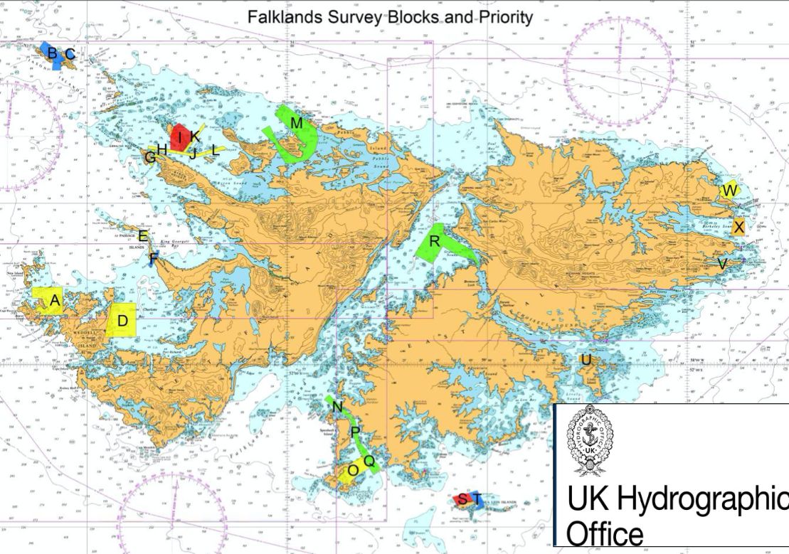
Falklands' seabed mapping surveys undertaken by UK Hydrographic Office
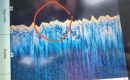
 Data from these surveys will initially be used to update nautical charts to support safe and efficient navigation for ships using the Falkland Islands waters. Image: UK Hydrographic Office
 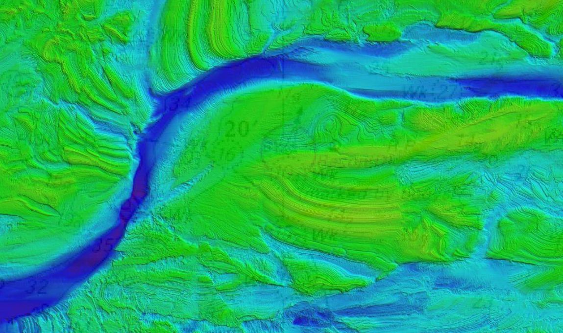 With the increase in expedition cruises within waters around the Falklands it is important that safe passage is achieved to the sites visited to minimize risks. Image: UK Hydrographic Office
 This month the UK Hydrographic Office will be conducting seabed mapping surveys to support safe maritime trade and the development of a sustainable blue economy.
Almost all activity in our oceans, from shipping to monitoring delicate marine environments, depend on accurate seabed mapping data that illustrates the shape and movement of natural underwater features. So, for coastal communities like the Falkland Islands, the collection of this data is vital to supporting safe trade, sustainable economic growth and protecting their communities from the effects of climate change.
As part of the UK government’s Overseas Seabed Mapping Program, the UKHO will lead the collection of this data through vessel-based seabed mapping surveys of the Falkland Islands coastal waters. Data from these surveys will initially be used to update nautical charts to support safe and efficient navigation for ships using the Falkland Islands waters. With the expected increase in expedition cruises within the waters around the Falklands it is important that safe passage is achieved to the sites visited to minimize impact and reduce risk of an incident occurring that impact upon not only human life but could have environmental consequences. Further data sets, such as seabed type, will be used to help the Directorate of Natural Resources preserve the marine environment and sustainably harness economic resources.
Kerrie Howard, Hydrographic Program Manager at UKHO welcomed the survey: “A good understanding of the ocean is increasingly important in continuing to help island territories realize their economic potential. As Primary Charting Authority for the Falkland Islands, this program gives UKHO the chance to survey the waters surrounding the islands and ensure that the territory working towards fulfilling its international maritime safety obligations under the Safety of Life at Sea (SOLAS) Convention”.
Surveys will be conducted from November through to the end of January using personnel from the UK Hydrographic Office and their contractor EGS. The team are using local Sullivan Shipping vessel John Davis as the survey platform, along with two support vessels. This work is supported by the UK government’s Conflict, Stability and Security Fund, which has been established to build peace and stability around the world.
Top Comments
Disclaimer & comment rules-

-

-

Read all commentsFeelings? Emotions? Just chemicals 3rd-World Betts. Facts now are something better so get over yourself and never forget, Buenos Aires was trespassing in 1833.
Nov 17th, 2019 - 06:52 am +2Trespassers gain no title.
Which Argentina still tries to emulate to this day, claiming everything around it.
Nov 17th, 2019 - 02:26 pm +1I mean S. Georgia, really, did an Argy ship once sail past it and catch sight of it???
Oh look there is some ice shelf over there, I know, that can be Territorio Antartico Argentino, never mind the 100 year old British flags, we’ll say we never saw them so they could never have existed eh, sing up boys, Argentina, Argentina, Argentina!!!
Trouble is you’re a few hundred years too late, all claimed while the UP was still a strip of land along one side of the river Plate.
When our neighbours in Patagonia and TDF were much nicer people.
You keep forgetting in that part of the world you are the “new kids on the block”. We have been there since long before you planters ever reached a south facing coastline.
What a surprise that a Malvinista would prefer feelings and emotions over facts.
Nov 17th, 2019 - 08:18 pm +1Commenting for this story is now closed.
If you have a Facebook account, become a fan and comment on our Facebook Page!