MercoPress. South Atlantic News Agency


Unusually bad weather forecast for River Plate area
 In Buenos Aires, a month's worth of rainfall could be recorded in less than two days, it was explained
 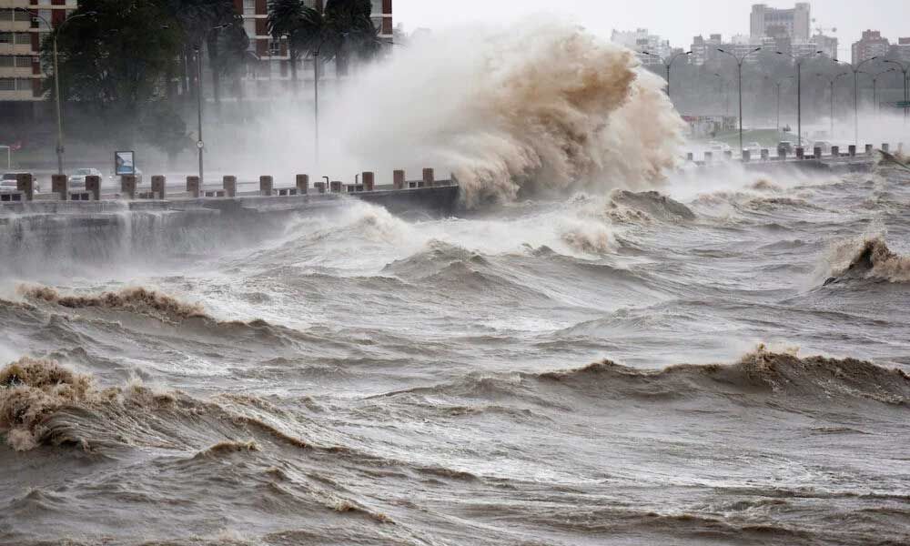 In Montevideo, the worst part is expected for late Wednesday
 Weather forecasters in Uruguay and Argentina foresee unusually bad conditions for the coming days in the River Plate area, it was reported in Buenos Aires and Montevideo, where concerns were higher given next Sunday's presidential Elections coupled with two simultaneous plebiscites that might shape up the South American country's near future.
Uruguay's Inumet advised the citizenry “to be attentive to the alerts” the agency might issue but predicted pleasant temperatures and no rain for Election day in the country's capital.
Inumet meteorologist Natali Bentancor warned that “it is going to be different the type of phenomenon that is going to be generated in the different days”. For Tuesday, “the storms we are forecasting will be very isolated, especially for the coast and center of the country,” she said while anticipating a yellow alert. But very strong storms are expected Wednesday and Thursday with possible hail, electric activity, and very strong wind gusts.
In Montevideo, the worst part is expected for late Wednesday with rainfall between 70 and 100 millimeters. For the weekend, “temperatures will decrease, in the southern area there will be maximum temperatures between 21 and 23 degrees and it will be pleasant and without rains,” she added.
In Buenos Aires, Argentina's National Meteorological Service (SMN) and Meteored speak of cyclogenesis approaches heralding rains, storms, and floods, as a month's worth of rainfall could be recorded in less than two days. By Wednesday, showers in the morning and heavy storms in the afternoon and evening are to be expected in the Buenos Aires Metropolitan Area (AMBA) with bad weather continuing through Thursday.
According to Meteored, the cyclogenesis or extratropical cyclone will reach the central part of the country on Wednesday, particularly Córdoba, but then it will spread onto the center-north of Buenos Aires, with floodings not to be ruled out.
A cyclogenesis or meteorological bomb is a generic term that includes hurricanes, typhoons, squalls, and polar lows, among others. They are low-pressure systems where the wind rotates counterclockwise in the Northern Hemisphere and clockwise in the Southern Hemisphere and can build up very quickly and very intensely, becoming a very violent and adverse event in a matter of hours.

Top Comments
Disclaimer & comment rulesCommenting for this story is now closed.
If you have a Facebook account, become a fan and comment on our Facebook Page!