MercoPress. South Atlantic News Agency


Chile Gained 1.2 Square Kilometres Following the Earthquake
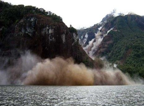 The expansion/contraction process is linked to the seismic periods
 The Chilean territory expanded 1.2 square kilometres into the Pacific following the February earthquake that ravaged the centre and south of the country, according to Sergio Barrientos, head of the University of Chile Seismologic Institute.
This helps to explain why some Chilean cities like Constitución, 359 kilometres south of Santiago, moved 4.7 metres west.
However, Barrientos also pointed out that at the same parallel, but in the Andes mountain range the land movement was only one metre. “So the differential between the coast and the border with Argentina is 3.7 metres. That is the area that Chile expanded,” said Barrientos. This three metres wide strip along an extension of 400 kilometres is what supports the 1.20 square kilometres advance.
But this is not permanent. Barrientos said the territory will be back to its February 27 situation and will again expand when the next seism. “This happens during the post-seism period, immediately following the earthquake. But in between earthquakes, that is the 150/180 years period between the two events, Chile will contract approximately to its original position,” said Barrientos.
The natural tendency is for Chile to keep “thinning” because of the convergence of the Nazca and South American plates which brings closer the coast and the Andes mountains. “This is precisely what explains why Easter Island is ever closer to the continent. If we measure the island with a stable, fixed point in Brazil we can check the distance contracts seven centimetres annually, seven metres in a century,” said Barrientos.
But while the distance between Easter Island and some place in Brazil shortens, the contact of the two tectonic plates is deformed and that deformation means a contraction of Chilean surface, from the coast to the Argentine border, and that distance is very similar to that which is liberated when a major earthquake, added the Chilean scientists.
This contraction/expansion process by which Chile “thins” and then “fattens” is what complicates charting maps and forces Chile to remake them whenever the land trembles.

Top Comments
Disclaimer & comment rules-

-

-

Read all commentscareful Chile! Your neighbor might start claiming those new 1.8 Km as an integral part of it's national territory!
May 12th, 2010 - 11:08 am 0LOL maybe they will but now we have another issues with them, we have “ undefined” borders with them so first we solve those border problems and then they can make another claim. I´m just tired of borders problems is like a endless story
May 12th, 2010 - 02:22 pm 0I thought Perito Moreno defined the border a long time ago..
May 15th, 2010 - 09:05 am 0Commenting for this story is now closed.
If you have a Facebook account, become a fan and comment on our Facebook Page!