MercoPress. South Atlantic News Agency

Beautiful South Georgia from the air on a day of great visibility
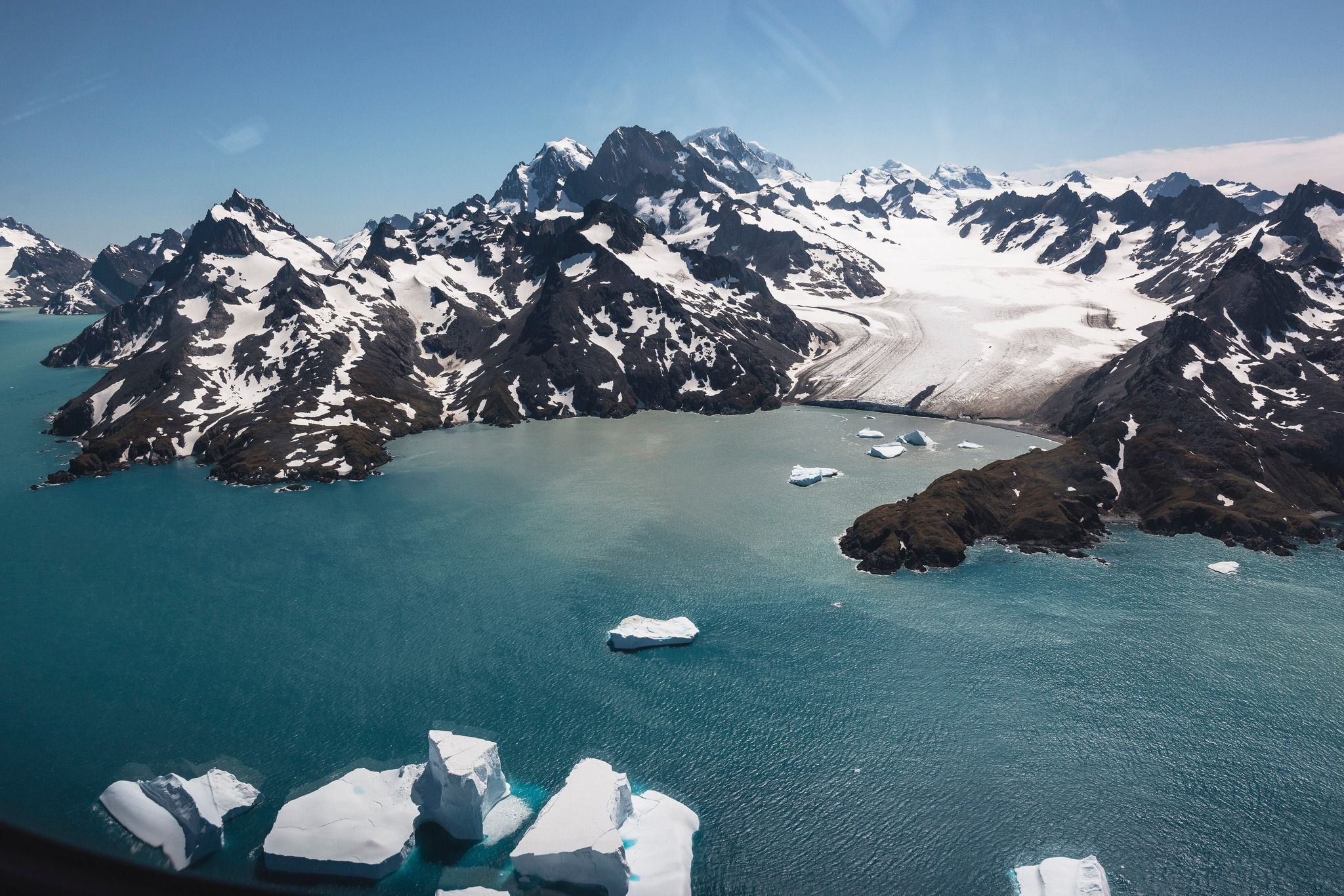 Approaching the island
 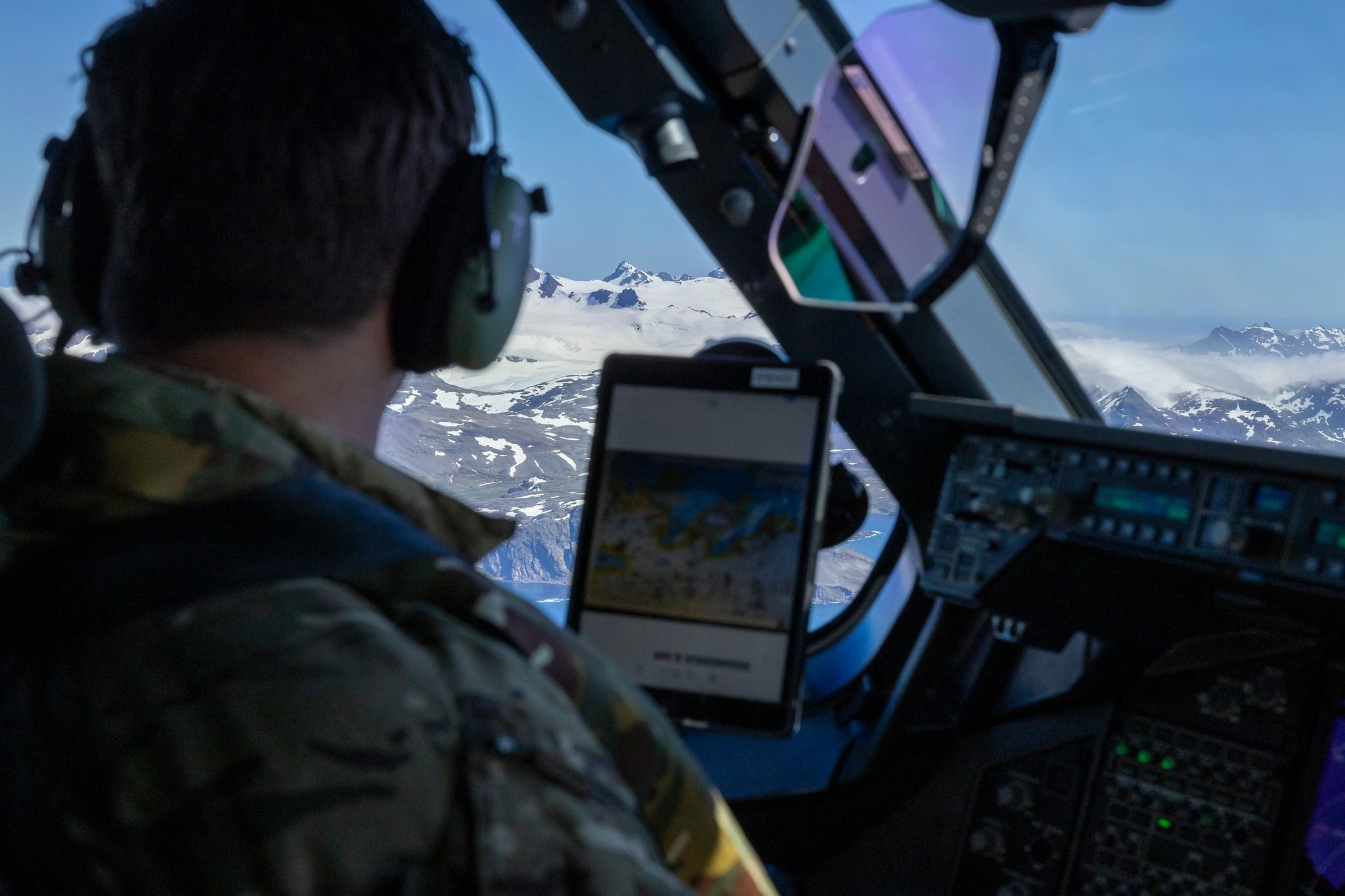 The lucky pilot enjoying the flight
 The BFSAI is reporting that an RFA Airbus Atlas 400 M during a recent fisheries patrol operation, ColdStare, along South Georgia Island and waters enjoyed spectacular flying conditions, with blue skies, since they are normally covered in cloud’
This allowed a clear visibility of the island and its highest peak, Mount Paget with 9,629 feet.
These maritime surveillance sorties also support the local authorities, providing high-quality imagery of ice flows, glaciers and wildlife.

Photo: Cpl Cann RAF Photographer
Not only did our crew catch a glimpse of a pod of whales, but spotted enormous penguin colonies that occupied entire beaches. (Photography by Cpl Cann RAF Photographer)
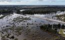
Likewise it must be recalled that at the end of January, the Government of South Georgia & the South Sandwich Islands said in a release it was well aware of and closely monitoring the movement of iceberg A23a.

Photo: Cpl Cann RAF Photographer
Icebergs are a regular occurrence in the Southern Ocean, and we anticipate A23a will run aground before it reaches the landmass of South Georgia.
“We continue to work with the British Antarctic Survey and others to identify a range of likely future scenarios and potential implications, including for the region’s wildlife. Whilst shipping and fishing activity may be impacted by the presence of icebergs, impacts on wildlife are likely to be localized and transient.”

Top Comments
Disclaimer & comment rules-

-

-

Read all commentsSo South Georgia is Argentine because a Spaniard saw it first in 1756?
Feb 12th, 2025 - 08:41 am +2Surely that means Argentina belongs to the first humans that arrived there 1000s of years before the Latinos.
Best hand it back and beggar of back to Europe Malvi.
Complete loony tunes 1833, you need deprogramming from the fantasy world you live in,
Feb 12th, 2025 - 10:15 am +1“The South Atlantic island of South Georgia, situated south of the Antarctic Convergence, was the first Antarctic territory to be discovered. It was first visited in 1675 by Antoine de la Roché, an English merchant born in London to a French father. He left Hamburg in 1674 as a passenger on a 350-ton vessel bound for Peru. During the return journey, it was en route to Salvador in Brazil around Cape Horn. While trying to navigate through the Le Maire Strait near Staten Island, it was driven off course far to the east. In April 1675, the vessel found refuge in a bay of an unknown island where it anchored for 14 days. La Roché published a report of his voyage in London in 1678 in which he described the new land. That report is now lost but shortly afterwards, in 1690, Captain Francisco de Seixas y Lovera, a Spanish mariner, published an account of La Roché's discovery in his Descripcion geographica, y derrotero de la region austral Magallanica.”
Feb 12th, 2025 - 11:33 am +1https://en.wikipedia.org/wiki/History_of_South_Georgia_and_the_South_Sandwich_Islands
Commenting for this story is now closed.
If you have a Facebook account, become a fan and comment on our Facebook Page!