MercoPress. South Atlantic News Agency


Enhanced Marine Protected Area in South Georgia: No Take Zones expanded for krill and toothfish
 Map of the new MPA measures with No Take Zones’ that now cover over 470,000 km², representing 38% of the MPA.
 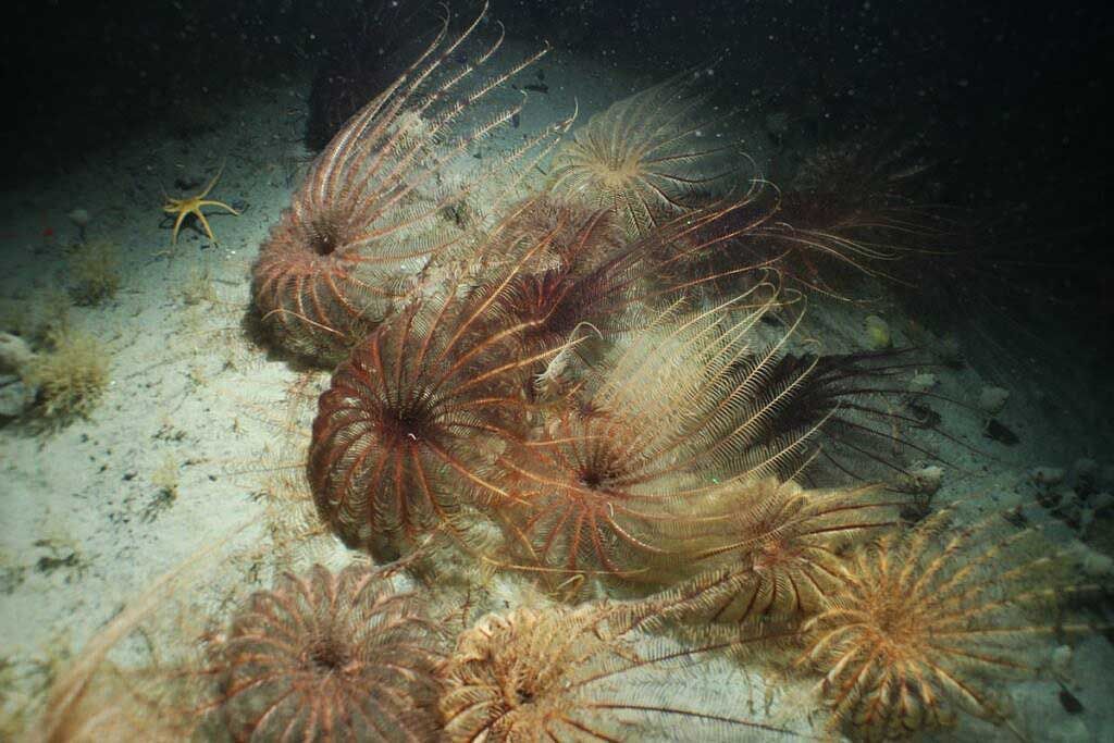 Crinoids (feather stars) on the seabed at the mouth of Cumberland Bay (South Georgia). Photo: GSGSSI/Cefas/Blue Belt.
 The Government of South Georgia & the South Sandwich Islands (GSGSSI) has announced that enhanced Marine Protection Area (MPA) measures officially come into force on 22nd Apri), following the signing of new legislation by Her Excellency the Commissioner, Alison Blake CMG.
These strengthened protections, announced in early 2024 following the conclusion of the MPA 5-yearly expert review, include a significant expansion of areas closed to all fishing activity. The newly designated ‘No Take Zones’ now cover over 470,000 km², representing 38% of the MPA. In addition, a further 31,000 km² of pelagic closed areas mean that krill fishing is now prohibited across more than half a million km² within the MPA.
These enhancements build on SGSSI’s robust marine protection framework, where tourism and sustainable fisheries are strictly regulated. Existing measures include seasonal closures that limit krill and toothfish fishing to winter months to reduce potential interactions with breeding seals and seabirds, as well as a ban on bottom trawl fishing across the entire 1.24 million km² MPA.
During the five months when highly regulated, licensed fishing is permitted, 40% of the MPA will now be closed to krill fishing. Additionally, 95% of the MPA will be closed to longline fishing, with prohibitions applying within the general benthic closed area—spanning all depths shallower than 700m and greater than 2,250m—as well as within a network of research benthic closed areas at fishable depths, designed to safeguard vulnerable habitats and species.
The greatly expanded and interconnected network of No Take Zones not only protects the most biodiverse and potentially vulnerable marine habitats but also includes regions identified by the International Union for Conservation of Nature (IUCN) as Important Marine Mammal Areas (IMMAs).
Together, the SGSSI-MPA and the Territory’s world-leading, ecosystem-based approach to sustainable fisheries management make a significant contribution to global sustainability goals and the UK Government’s commitment to long-term marine conservation.

Top Comments
Disclaimer & comment rulesNo comments for this story
Please log in or register (it’s free!) to comment. Login with Facebook