MercoPress. South Atlantic News Agency


Southern Brazil hit by extratropical cyclone
 The poor weather is feared to extend through Wednesday in neighboring Uruguay
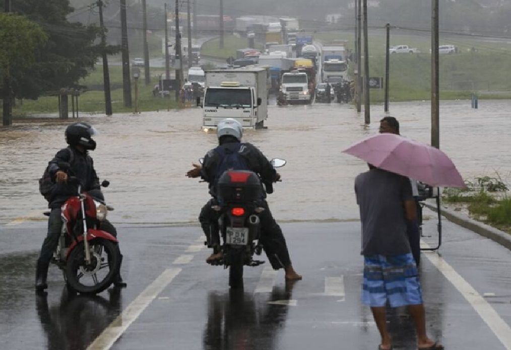
 Heavy rainfall triggered by an extratropical cyclone battering Southern Brazil caused widespread flooding on Tuesday, turning streets into rivers and hillsides into waterfalls across Florianópolis, São José, Palhoça, and Biguaçu.
The Epagri/Ciram meteorological agency reported that Palhoça recorded the highest volume of rain over six hours, with 97.2 millimeters, followed closely by Biguaçu (86.2 mm).
The extreme weather caused major transportation and infrastructure issues. Widespread flooding was reported, blocking major roads, including sections of the BR-101 in Palhoça and Biguaçu. In São José, the Itaguaçu shopping tunnel was completely blocked due to high water volume.
In central Florianópolis, a partial collapse of two uninhabited houses occurred. The access road to Morro da Cruz became a literal “waterfall,” with overflowing storm drains.
Additionally, nearly 3,800 households in Greater Florianópolis lost power early Tuesday, including over 2,000 outages in the Campeche neighborhood. Power has since been largely restored.
Santa Catarina State authorities suspended classes at all levels, including universities, such as UFSC, IFSC, and Udesc.
According to the latest forecast, the extratropical cyclone was expected to bring persistent, intense rain and maritime circulation along the entire coast, creating a high to very high risk of continued flooding and flash floods. Winds are also expected to intensify, with gusts between 55 and 75 km/h.
Civil Defense strongly advises the public to seek sheltered locations, avoid driving or walking through flooded streets, and stay away from trees, signs, and power poles during strong winds.
Brazil's weather agency Metsul highlighted the formation of an “extremely deep low-pressure center, which we are not accustomed to seeing in our region,” with atmospheric pressure values comparable to tropical cyclones between the State of Rio Grande do Sul and Uruguay, where the entire country was placed on high alert. Still, Brazil would face the worst part.
The Uruguayan Institute of Meteorology (Inumet) foresaw lowering temperatures following a week of intense heat, with peak activity on Tuesday, as rain reached Montevideo and adjacent areas, potentially continuing into Wednesday.

Top Comments
Disclaimer & comment rulesCommenting for this story is now closed.
If you have a Facebook account, become a fan and comment on our Facebook Page!